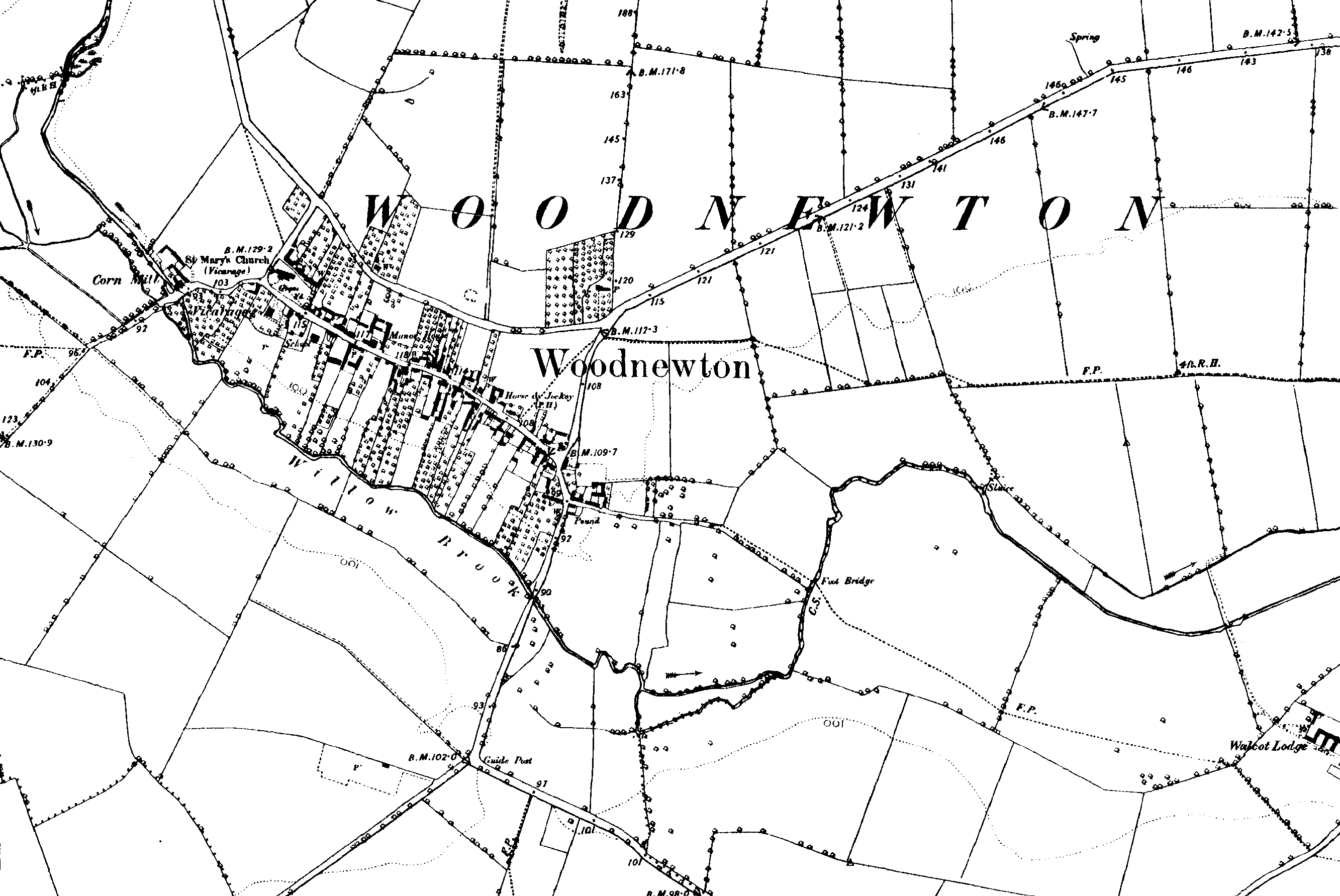
Woodnewton
The may layout of the village has not changed from Medieval times. Essentially
it consist of a single street with a parallel lane. The two streets
were connected by parallel strips of land or closes, mamy of which were
copyhold lands. There were originally mills to both ends of the village
by the 16th century but the west mill was the only to survive beyond
the 18th Century. The road to the East crossed the small stream the
Willow Brook by a ford until 1735 when the local Lord of the Manor,
the Earl of Westmorland constructed a bridge.
In the middle ages the manor was part of the property of Fineshade Abbey, Northamptonshire. By the mid 16th Century it was tow manors, both of which were purchased by Sir Walter Mildmay in 1551. He passed it through his descendants to the Earls of Westmorland. His purchase appears to have led to many of copyhold properties amalgamating to form larger farms and properties.
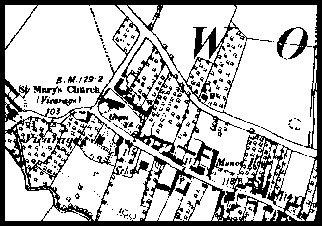
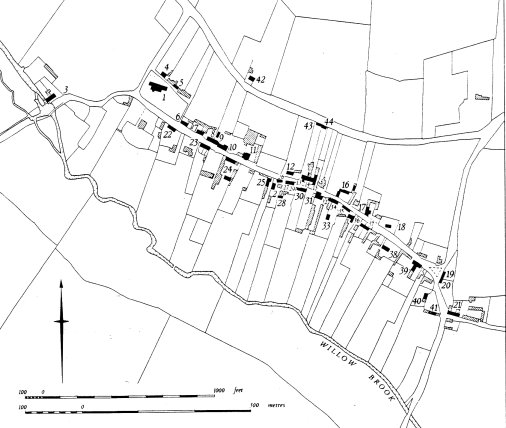
The RCHH map of the village shows various ancient proprties in the village. The building marked 1 is most probably the original Culpin proprty with its small holding behind. The family are shown in records to have fields 'scattered' across the fields of Woodnewton, referring to the strip ssytem used until enclosure. Building 11 was built for the lord of the manor and is of Palladian style, prbabaly built about 1740 for the local court of the Lord and for use by one of his tenant farmers. One of early OS maps of the village shows a similar layout of roads and properties to that shown on the maps of the area at the time of the enclosure and earlier
Links
Church History
General
maps of the County
Links to the GENMAPS site. An excellent colelction of
old maps.